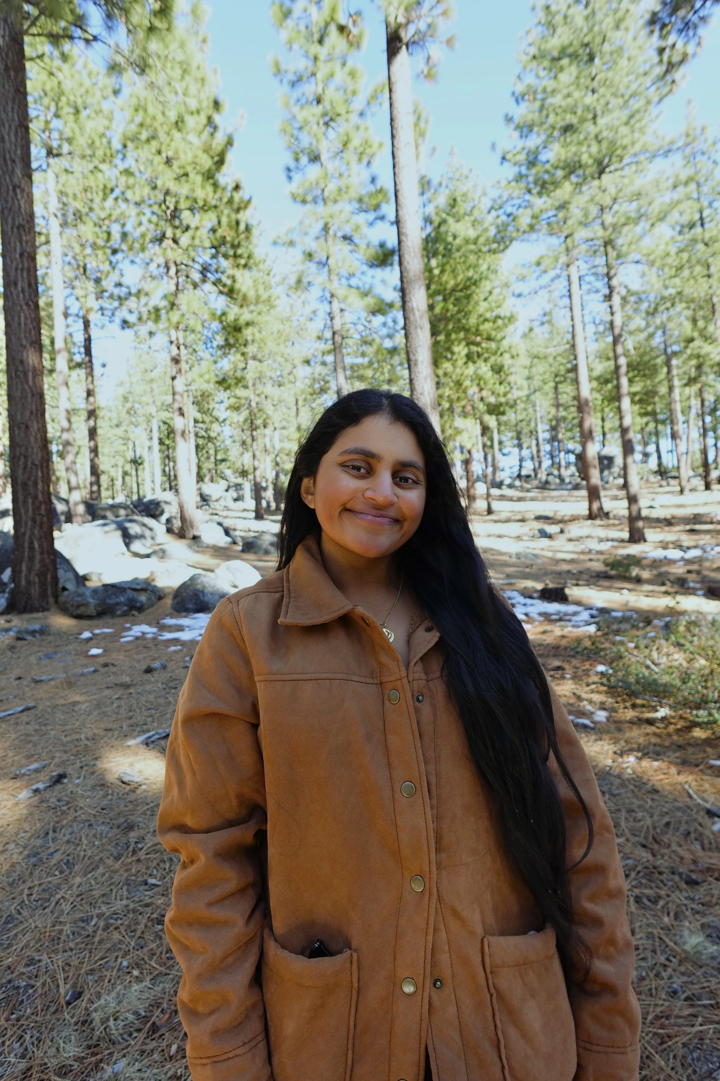
Kara Kaur Sanghera
Where boots-on-the-ground meets fingers-on-the-keyboard.
I am experienced in both basic and applied research, and I use these foundations to try to answer complex questions about landscape change and sustainable management of natural resources. During my time as a Research Fellow with the U.S. Forest Service, I served as the field crew lead and GIS coordinator to implement the ENAMES reforestation study, which prompted my interest in scientific communication of ecological concepts through visual platforms. I aim to use my training in forest ecology with my geospatial capabilities to promote landscape conservation, ecosystem restoration, and nature-based solutions.
Serving as a field crew lead sparked my curiosity about the environmental interactions that create functional ecosystems, and I want to inspire a similar feeling in others through my maps. GIS provides us with a special opportunity to see planetary-scale environmental processes on a small screen, and I want to use this platform to encourage people of varying scientific backgrounds to be curious about the beautiful and complex world around them.
Education:
University of California, Davis: 2019-2023
B.S. in Environmental Science and Management
Minor in Plant Biology
University of California, Los Angeles: 2025-present
Master’s in Applied Geospatial Information Science and Technologies
Contact me
If you are interested in any of my projects or methodologies, I encourage you to reach out. I am always looking to expand my scientific network and get involved in new projects.
